Socioenvironmental Maps—Poverty
 ShareCompartir
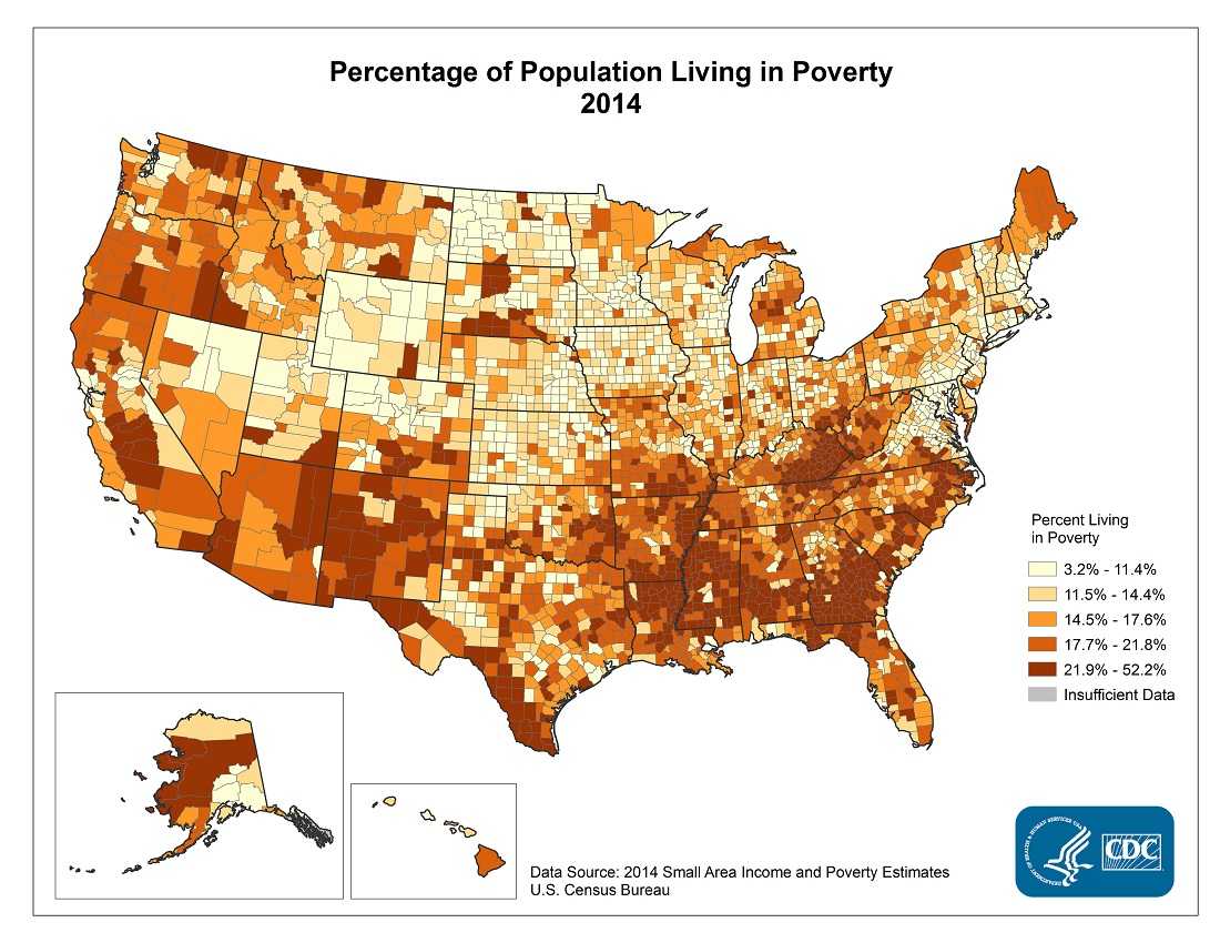
To view this map in a larger format, click HERE [PDF–2.9M]
To view the data table for this map, click HERE [Excel-114K]
- Page last reviewed: June 28, 2016
- Page last updated: June 28, 2016
- Content source:


To view the data table for this map, click HERE [Excel-114K]