

An Introduction to GIS and Public Health
 ShareCompartir
Learn the basics of GIS, from creating simple maps to exploring spatial and hotspot analysis in this GIS training course.
This training is intended for users with little or no experience working with GIS.
It should take approximately three to four hours to complete. Participants will receive instruction on the use of GIS software and an introduction to commonly used and readily available data sources. At the end of the training, participants will have created several statewide and county-level thematic maps illustrating the use of relevant data for public health applications.
This training is part of a larger curriculum created as part of the GIS Surveillance for Heart Disease, Stroke, and Other Chronic Diseases in State and Local Health Departments project. Learn more about the other GIS Training programs.
Map Making Session: Fundamentals
Lesson 1: create a map of North Carolina (NC) counties as an ArcMap project, and become familiar with the ArcGIS desktop interface.
- Instructions ArcGIS version 10 [WORD-334K]
- Instructions ArcGIS version 9.3 [WORD-249K]
- Data [ZIP-7.2M]
- Finished map [PDF-566K]
Lesson 2: create a simple map in ArcGIS, add data, and create a map layout.
- Instructions ArcGIS version 10 [WORD-502K]
- Instructions ArcGIS version 9.3 [WORD-377K]
- Data [ZIP-16M]
- Finished map [PDF-191K]
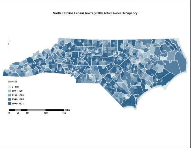
Lesson 3: illustrate owner occupacy in NC census tracts using ArcMap and ArcCatalog.
- Instructions ArcGIS version 10 [WORD-222K]
- Instructions ArcGIS version 9.3 [WORD-312K]
- Data [ZIP-7.5M]
- Finished map [PDF-326K]
Lesson 4: create a basic road network map for a county, and become familiar with complex data labeling and positioning.
- Instructions ArcGIS version 10 [WORD-749K]
- Instructions ArcGIS version 9.3 [WORD-457K]
- Data [ZIP-48.4M]
- Finished map [PDF-261K]
This session is concerned with providing the basics to creating coherent maps. Specific themes include—
- Downloading Data
- Starting a GIS Project
- Adding Data to a Project
- Symbology
- Labeling
- Working with Frames
- Data
- Layout
- Scales and Units
- Legends and North Arrows
- Composition
- Exporting Maps
Map Making Session: Transforming Data
This session will focus on techniques for processing or transforming your data to produce thematic maps. Specific themes include: Tables, sorting, selection, calculate fields, join, append, shapefiles, dissolve, merge, buffers, exporting shapefiles, and geocoding.
Lesson 1: learn to work with tables, including joining tables of geographic and spreadsheet data.
- Instructions ArcGIS version 10 [WORD-208K]
- Instructions ArcGIS version 9.3 [WORD-262K]
- Data [ZIP-5.9M]
- Finished map [PDF-595K]
Lesson 2: use an online batch geocoding tool to georeference addresses and place address points on a map.
- Instructions ArcGIS version 10 [WORD-369K]
- Instructions ArcGIS version 9.3 [WORD-142K]
- Data [ZIP-4.8M]
- Finished map [PDF-309K]
Lesson 3: create buffers around point features, including both simple and multiple ring buffers.
- Instructions ArcGIS version 10 [WORD-174K]
- Instructions ArcGIS version 9.3 [WORD-244K]
- Data [ZIP-4.8M]
- Finished map [PDF-517K]
Lesson 4: spatially join point-level data with geographic regions.
- Instructions ArcGIS version 10 [WORD-267K]
- Instructions ArcGIS version 9.3 [WORD-438K]
- Data [ZIP-29.6M]
- Finished map [PDF-615K]
This session will focus on techniques for processing or transforming your data to produce thematic maps. Specific themes include—
- Tables
- Sorting
- Selection
- Calculate Fields
- Join
- Append
- Shapefiles
- Dissolve
- Merge
- Join
- Buffers
- Exporting Shapefiles
- Geocoding
- Page last reviewed: July 10, 2017
- Page last updated: July 10, 2017
- Content source: