

Map Details - Complete Streets Policy Initiatives Michigan
 ShareCompartir
Impact Statement
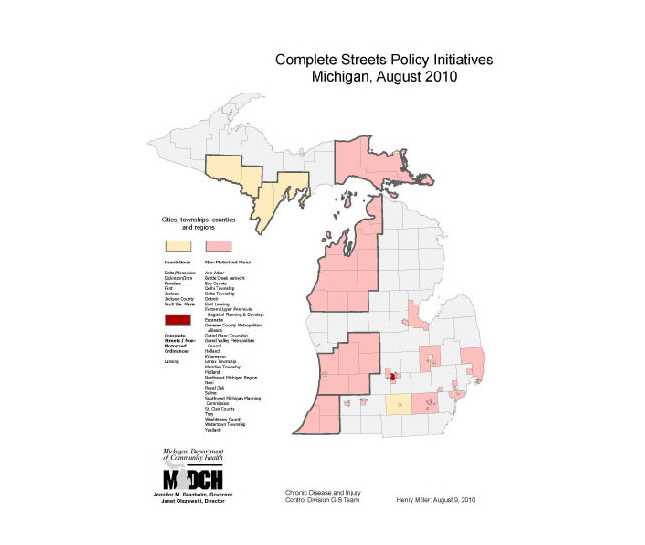
This map displays three levels of policy—resolutions, ordinances, and non-motorized plans—by four types of jurisdictions, including cities, townships, counties, and regions. The map documents areas with and without policy initiatives and shows the reach of the Complete Streets project.
Software Used
ArcGIS 9.3
Data Used
Complete Streets project data.
Methods Used
Use GIS layers for state counties, townships, cities to display geographic reach of policy initiatives.
Contact the Submitter of this Map
Henry L Miller, Departmental Specialist, Michigan Department of Community Health
(517) 335-8779
millerhenry@michigan.gov
How to Cite this Map
Complete Streets Policy Initiatives Michigan, August 2010 Miller, Henry; Michigan Department of Community Health, [TODAY’S DATE].
- Page last reviewed: July 10, 2017
- Page last updated: July 10, 2017
- Content source: