

STATS of the STATES
 ShareCompartir
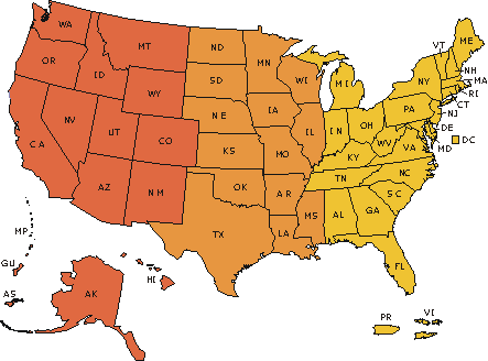
Click on map or state name for individual state data in PDF format:
- Percent of Babies Born to Unmarried Mothers, by State, 2014
- Percent of Births by Cesarean Delivery, by State: 2014 - The percentage of all live births that were cesarean deliveries.
- Percentage of Births Born Preterm, by State 2014 - Babies born prior to 37 weeks of pregnancy (gestation).
- Teen Birth Rate by State, 2013 - The number of births per 1,000 teenagers ages 15-19 in each state.
- Percentage Born Low Birthweight by State, 2013 - Babies born weighing less than 2,500 grams or 5 lbs. 8oz.
- Leading Causes of Death, by State, 2013 [PDF - 302 MB] - This comprehensive table lists the 15 leading causes of death in each state, and the District of Columbia.
- Heart Disease Mortality by State, 2013 - Number of deaths and age-adjusted death rates from diseases of the heart.
- Cancer Mortality by State, 2013 - Number of deaths and age-adjusted death rates from malignant neoplasms.
- Chronic Lower Respiratory Disease Mortality by State, 2013 - Number of deaths and age-adjusted death rates from various lung diseases including asthma, chronic bronchitis, and emphysema.
- Accident Mortality by State, 2013 - Number of deaths and age-adjusted death rates from unintentional injuries/accidents.
- Stroke Mortality by State, 2013 - Number of deaths and age-adjusted death rates from cerebrovascular disease.
- Alzheimer's Disease Mortality by State, 2013 - Number of deaths and age-adjusted death rates from Alzheimer's disease.
- Diabetes Mortality by State, 2013 - Number of deaths and age-adjusted death rates from diabetes mellitus.
- Influenza and Pneumonia Mortality by State, 2013 - Number of deaths and age-adjusted death rates from flu and pneumonia.
- Kidney Disease Mortality by State, 2013 - Number of deaths and age-adjusted death rates from nephritis, nephrotic syndrome and nephrosis.
- Suicide Mortality by State, 2013 - Number of deaths and age-adjusted death rates from blood poisoning
- Death Rates for Drug Poisoning, by State of Residence: United States, 2013 - The latest state-based age-adjusted death rates for fatal drug poisonings.
- Death Rates from Firearm Injuries: United States, 2013 - The latest state-based age-adjusted death rates for firearm-related fatalities.
- Death Rates from Homicide: United States, 2013 - The latest state-based age-adjusted death rates for fatal drug poisonings.
- Infant Mortality Rates by State, 2013 - The number of deaths to infants under one year of age per 1,000 live births.
- Percentage of People Under Age 65 Who Lacked Health Insurance Coverage: United States, 2014
- Marriage Rates by State, 2011 [PDF - 129 KB] - The number of marriages per 1,000 total population.
- Divorce Rates by State, 2011 [PDF - 23 KB] - The number of divorces per 1,000 total population. An analysis of 44 states.
- FastStats - Quick facts on the number of births and deaths in each state, along with key links to other references.
* For more information or to call 301-458-4800.
- Page last reviewed: June 25, 2015
- Page last updated: June 25, 2015
- Content source: